by Paul Wilson | 3 min read May 15th, 2019
For summer 2019, we are partnering with the Journal.ie to bring you 12 Great Irish Drives: the most amazing road trips in the country. Whether it’s with friends, family or by yourself these trips should give you the courage to get in the car and go explore.
This week, Paul Wilson takes the historic route between Cork and Kerry for a thrilling drive along the Healy Pass.
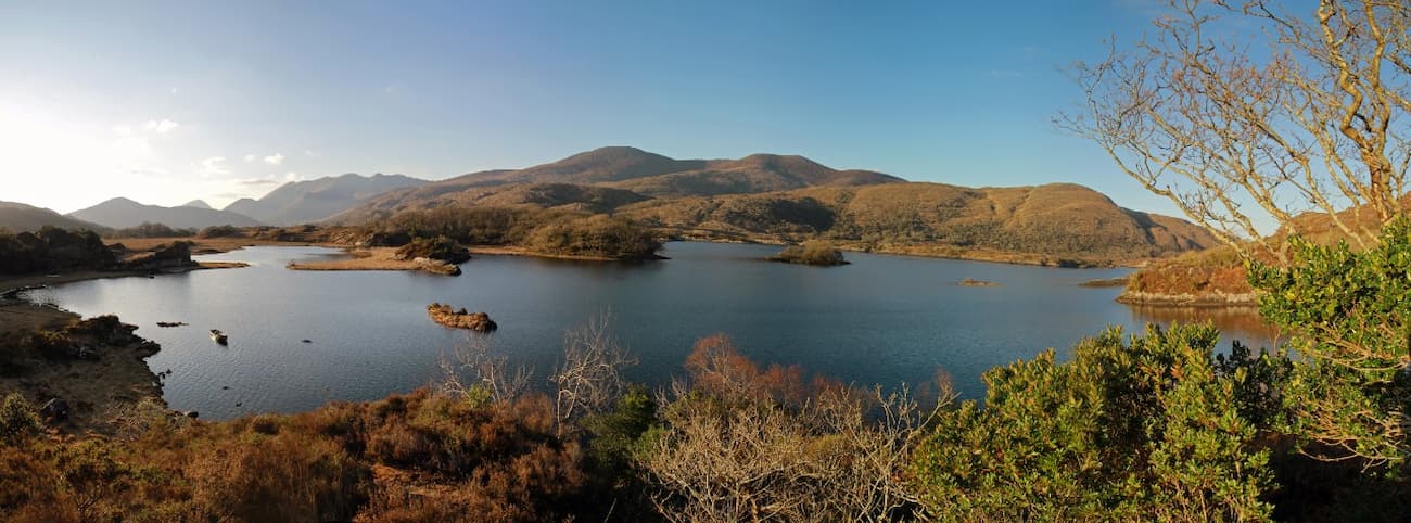
Name: The Healy Pass
Where: Over the Cork-Kerry border, crossing the spectacular Caha Mountains.
The route: Country roads and mountain passes take you through the heart of Munster, with stops at Gougane Barra, Kenmare and Killarney National Park en route.
What makes it one of Ireland’s Great Drives? Of south west Ireland’s three peninsulas, The Beara Peninsula is lesser-known and begging to be explored.
Journey time: 5 hrs, approx. Start at St Patrick’s Bridge in Cork city, join the N22 to Coomroe for Gougane Barra, Glengarriff and the Healy Pass. Onwards to Kenmare and Killarney National Park and the journey ends at Tralee.
Hidden gems: A stop at Toons Bridge Dairy’s farm shop, the tiny church at Gougane Barra, and the weekly farmer’s market in Kenmare.
For the courageous: Take a detour off the N71 to Priest’s Leap. It is the highest pass in Munster, reached by a single lane track, for a transcendental once in a lifetime photo op with views over Bantry Bay.
A landscape legacy of often well-intentioned, but hopelessly misguided, initiatives’, said the writer Richard Collins of Ireland’s famine roads.
These were the results of relief work and forced labour, which saw the starving Irish working in exchange for food during the famine years.
One of the most well-known of the famine roads is Healy Pass, originally The Kerry Pass. On the Beara Peninsula, the R574 crosses The Caha Mountains, and the views stretch to Bantry Bay, Kenmare and beyond.
Cork was the great departure point for emigrants leaving the south of Ireland in the 1840s – and that’s where your drive begins today. Start around St Patrick’s Bridge, with the River Lee flowing beneath you (you’ll be arriving at its source later in the journey).
Heading on the N22 for Coomroe (73km), you’ll get into the countryside pretty quickly, passing peat bogs, grassland, conifer, and plenty of hares and sheep.
Getting your bearings at Macroom, you’ll find the Boggeragh Mountains and the Munster Blackwater to the north, and the River Lee to the south. A short detour here will take you to the famous Toons Bridge Dairy, with a farm shop and pizzeria on site, if you’re in need of road trip fuel.
Back on the road, take the R584 to the pilgrimage site of Gougane Barra, and the source of the River Lee. A 19th century oratory sits among, spruce, larch and pine and the remains of St Finbarr’s sixth century monastery. Take a look inside the tiny church if you can (though don’t be surprised if there’s a wedding on).
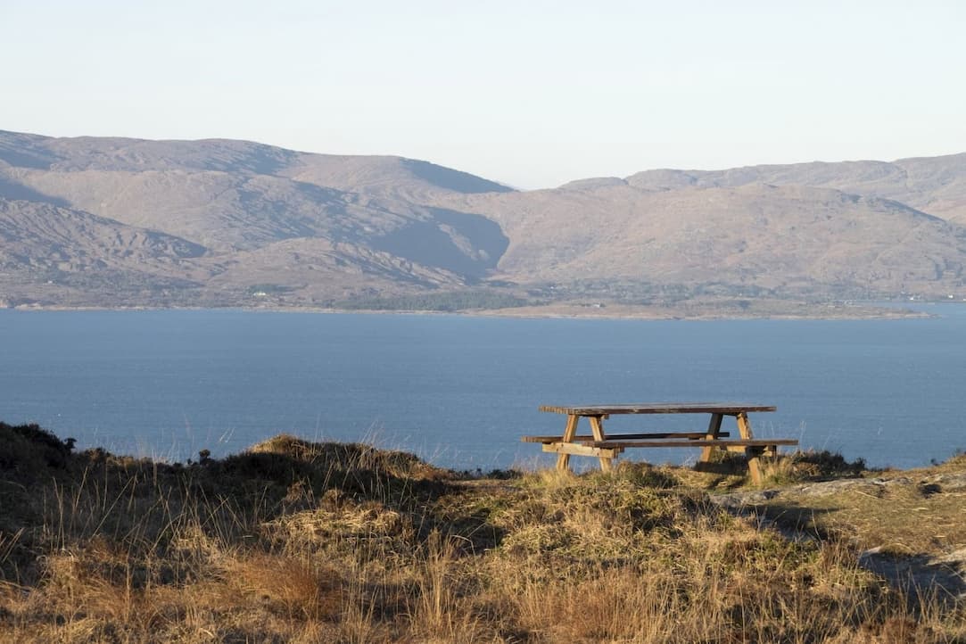
The R585 goes to Ballylickey, through Glengarriff or ‘the rugged glen’. Here, the warmth of the Gulf Stream means sub-tropical plants grow, and seals bask in the sheltered bay.
From Adrigole to Lauragh, the Healy Pass winds north through high mountain peaks formed during the Ice Age, around 115,000BC.
Kenmare, popular with tourists, sits on the estuary of Kenmare Bay. It’s a culinary capital, at the heart of the ‘belly of Ireland’, and perfect for a spot of lunch. If you’re there midweek, the Wednesday farmers’ market is worth a stop for local produce.
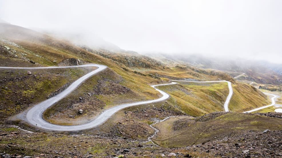
Afterwards, for the truly courageous, you could take a detour to the single-road Priest’s Leap, a fantastic photo opportunity which leads to Cork’s highest point, Knockboy.
The sinuous road north from Ballylickey loops around an inlet of the bay and is Munster’s highest mountain pass. It is full of kinks and blind summits, rising precariously to the edge of Coomhola Mountain and is not for the faint-hearted. The going’s tough, in some places first gear only!
The view stretches to the Slieve Mish Mountains, in Kerry, to the MacGillycuddy’s Reeks on the Iveragh peninsula. If visibility is good, you’ll see Ireland’s highest mountain, Carrauntoohil, standing proudly at 3,407 ft.
Killarney is all blue lakes and sandstone mountains. The N71 mountain pass runs from Kenmare to Killarney, through Moll’s Gap. Bathed in purple, you’ll see the mountains themselves. The area is now known under the term ‘The Reeks District’.
Killarney National Park is Ireland’s oldest national park. Oak trees, part of the great forest that once covered the country, sit here in a serene mountain-ringed valley.
Heading onward, the N22 will take you to Tralee, the county town and capital of Kerry, famous for ‘The Rose of Tralee’, inspiration for the annual Rose of Tralee Festival.
Information correct as of date of publishing. This blog will not be updated or edited so the information may become outdated.
